Fleeter Log #2 & #3
Northern Neck, Hampton Roads & the Eastern Shore
2005 July 16-18
585 miles
The Route:
We rode southeast of Fredericksburg through King George County and into Westmoreland County entering into Virginia's Northern Neck Peninsula. The Northern Neck is bordered by the Potomac River to the northeast and the Rappahannock River to the southwest and is the birthplace of President George Washington and General Robert E. Lee. Rain kept us from traveling to the end of the Northern Neck, so we crossed the Rappahannock River at Tappahannock and continued southeast to Cobb's Creek in the tip of Virginia's Middle Peninsula. From Cobb's Creek, we headed through Gloucester County to cross over the York River into Yorktown, then took the Colonial Parkway northwest into Williamsburg where we spent the night.
The next day we continued on the Colonial Parkway to Jamestown where we rode the ferry across the James River into Surry County. We continued our way into the Hampton Roads area of Virginia by way of Smithfield, Suffolk, Portsmouth, Chesapeake and Virginia Beach. At Virginia Beach, we crossed the Chesapeake Bay using the CBBT and landed on the southern tip of the Delmarva Peninsula known as Virginia's Eastern Shore. We traveled about halfway up the Eastern Shore before we reversed our travel to head home. It was Sunday about 6pm and we were running out of weekend. We spent the night in Gloucester and rode the last 100 miles back to Fredericksburg the next morning.
Our first side trip...

...took us to the Birthplace of George Washington. 
I swear I saw a Keebler elf run into this tree. 
Back to the main road we continue further down the Northern Neck. 
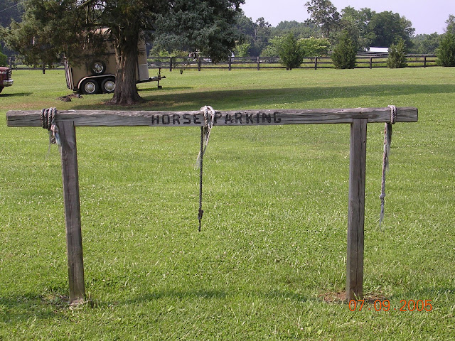
In Montross, Virginia. 
...we saw this cool old Coca-Cola bottling plant. 
The nice weather didn't hold out. Rain threatening for a while, then came a real thunder boomer! Luckily, we spotted an abandoned old service station with a small portico. We quickly took shelter. Even though we had cover, the storm blew with such force that we still got a bit damp.
After about 30 minutes, the rain let up enough for us to continue our way with a slight change of route. We head across the Rappahannock River into Tappahannock in the hopes of avoiding more rain in the area. About 25 miles down the road at Church View, we found more threat of rain.

This time it looked like an even bigger storm. We decided to pull over when we had the chance and wait it out. A very nice woman named Sue was just leaving her house, but offered her porch to us for shelter. 
Now this beats the old rundown station! Turns out it's the Dragon Run Inn Bed and Breakfast. (http://www.dragon-run-inn.com/) 
When the rainbow came out, we took it as a sign to get on the road and try again.
This time we took a slight detour to swing around the storm and rode the rest of the way to Cobbs Creek in the drizzle. Maybe we should look for some raingear to carry with us, ya think?!After having their famous BBQ sandwiches for supper, we left Cobbs Creek headed for the mouth of the York River.
We spent the night in Williamsburg and rode back to the Colonial Parkway along the York River the next morning. It is believed that Pocahontas was born near the banks of the York River.

Colonial Parkway has some cool brick overpasses. 
We weren't the only motorcycles taking advantage of the drive.
Near Jamestown we took the ferry across the James River into Surry County.
You can tell we are in Pocahontas territory.
We cruised southeast through the southern Hampton Road area (Suffolk, Portsmouth, Chesapeake and into Virginia Beach). Virginia Beach is where the Chesapeake Bay opens up into the Atlantic Ocean. The only way to transverse the 17+ miles of the Chesapeake Bay is the Chesapeake Bay Bridge-Tunnel (CBBT) ... toll fee $12, even for a motorcycle! Ouch! At that price, this was not to be treated as a mere roadway, but as an adventure to be experienced! After all, it is one of the Seven Engineering Wonders of the Modern World. 
At the first manmade island, the road tunnels under water. This provides a clear channel for ships to enter into the Chesapeake Bay. This island even has a restaurant and gift shop!
However, we didn't have time to waste shopping, another storm was brewing...fast!

...and it was coming our way...we better go if want to try to out run it.
Looking back to where we just left...so far so good...we're still ahead of it.

We made it to the other side. Looks like we stayed ahead of it this time.
We are now officially on Virginia's Eastern Shore with the Chesapeake Bay on one side and the Atlantic Ocean on the other side.
This is at Hog Island Bay on the Atlantic side.
There are still a lot of small Mom & Pop stores scattered all over the back roads. Amazing what life is like when you get off the interstates. This one is at Harborton on the Chesapeake Bay side. 
This ends our ride on the Eastern Shore. On our way back across the CBBT ($5 for a return trip within 24 hours) we stopped for a cheeseburger at the restaurant. It was 9:30 that night before we came back across the Chesapeake Bay to the mainland.
We stopped in Gloucester about 11pm for the night. Then the next morning rode the last 100 miles home.
Copyright 2005 Fleeter Logs